Lake Effect Snow Watch Issued: How Much Snow To Expect
LOCAL NEWS: Lake Effect Snow Watch Issued: How Much Snow To Expect
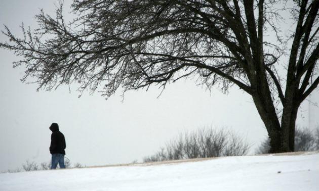
Source: Davis Turner/Stringent / Getty
The Lake Erie snow machine is set to kick into high gear starting Thursday morning across parts of northeast Ohio.
The National Weather Service has issued a Lake Effect Snow Watch for Ashtabula, Lake and Geauga counties from 9 a.m. Thursday morning until 10 a.m. Saturday.
A strong storm system moving east towards the area will bring the coldest air of the season so far. These frigid air temperatures combined with a warmer than normal Lake Erie means the possibility of significant snow for the primary snowbelt region
Here’s what you need to know…
*Accumulations…Snow accumulations of 6 inches or more are possible in the watch area. Localized snow accumulations of 12 inches or more are possible particularly in the inland areas of northwest Pennsylvania.
*Timing…Thursday morning through Saturday morning. The most significant lake effect snow will fall Thursday night and Friday.
*Impacts…Heavy lake effect snow and areas of blowing snow will lead to significant accumulations of snow on area roadways and very poor visibilitiy at times resulting in hazardous travel conditions.
*Winds…West to northwest 10 to 20 mph with gusts up to 30 mph.
CLICK HERE to read story
source: Wkyc.com


